Germantown Maryland Map
Navigate Germantown, Maryland Map, map of Germantown, Germantown Maryland regions map, Germantown satellite image, towns map, road map of Germantown.
Germantown Maryland Map FQA
Can I download a high-resolution map of Germantown Maryland ?
Yes. Download high-resolution political and physical maps of Germantown Maryland for personal or educational use. Redistribution is subject to the terms of our license.Maryland Map
States Map of USA
Map of Germantown Maryland, Maryland
germantown maryland map usa
A Collection of Germantown Maryland Maps
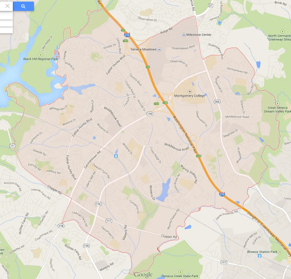
GERMANTOWN MARYLAND MAP USA
GERMANTOWN MAP MARYLAND US

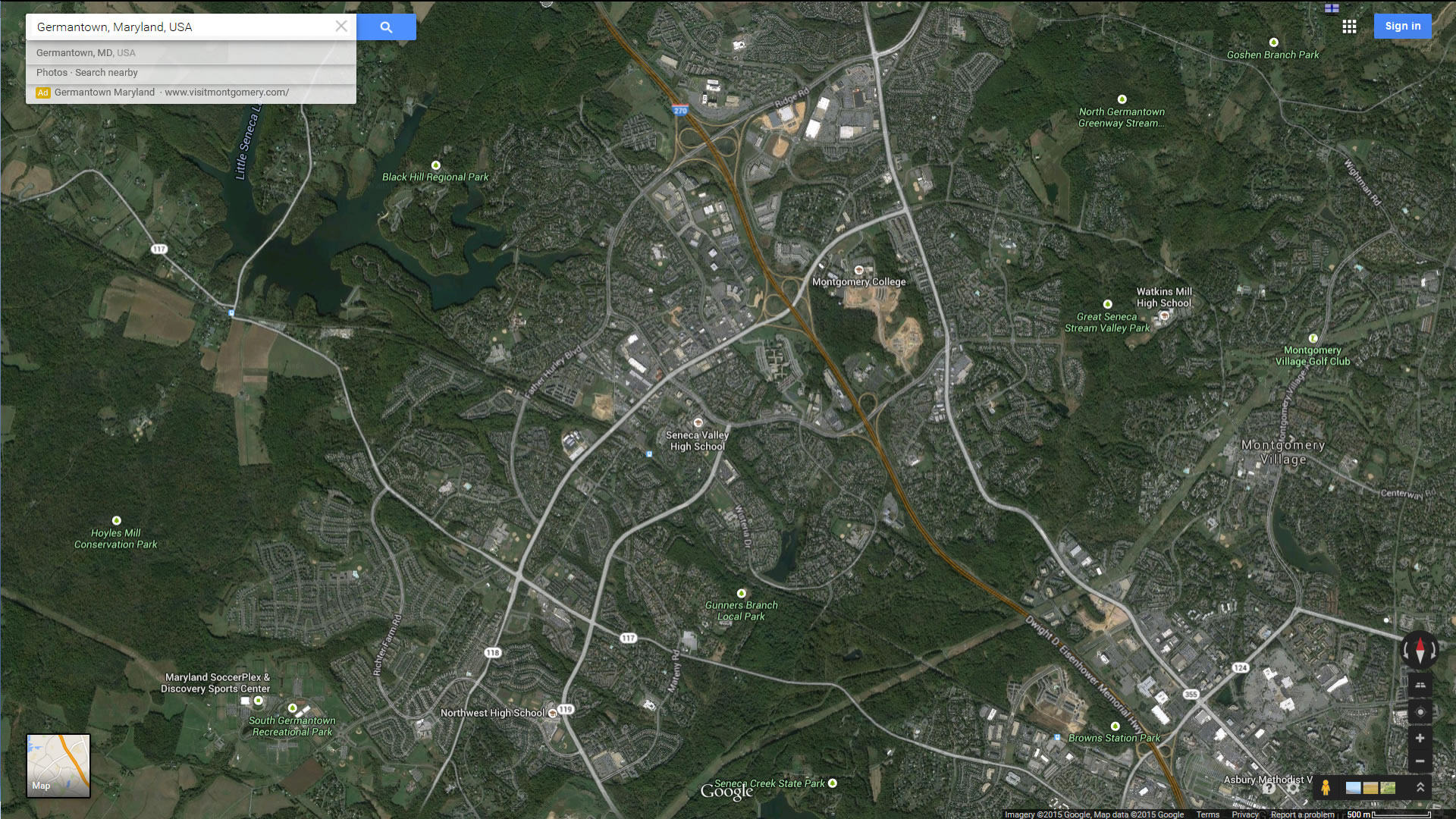
GERMANTOWN MAP MARYLAND US SATELLITE
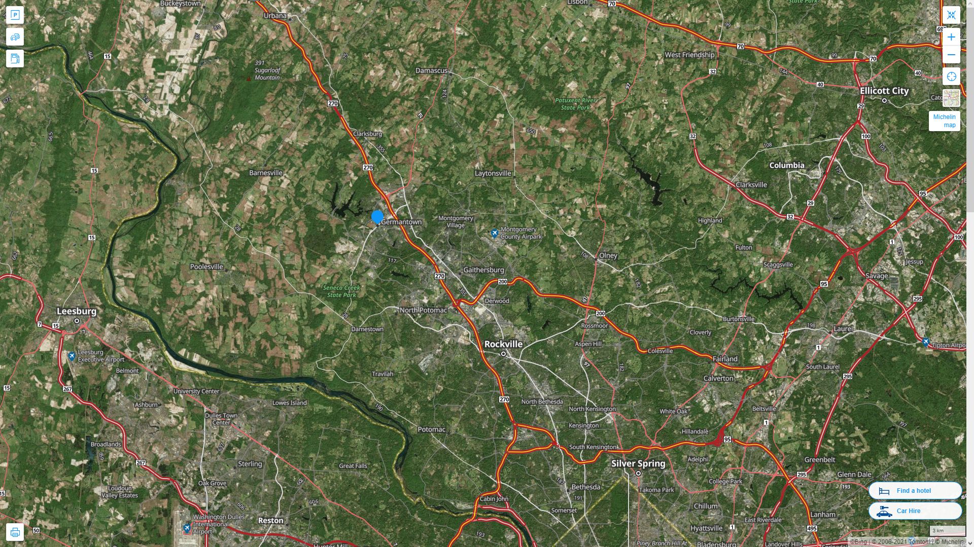
GERMANTOWN MARYLAND HIGHWAY AND ROAD MAP WITH SATELLITE VIEW
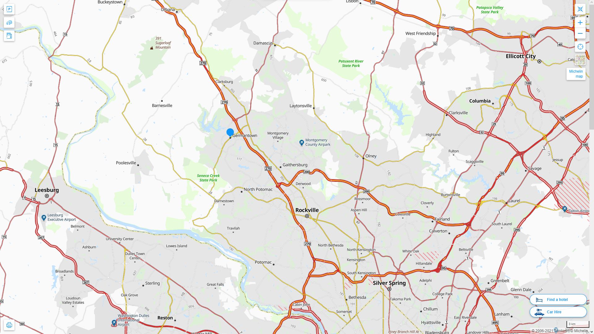
GERMANTOWN MARYLAND HIGHWAY AND ROAD MAP
Largest Maryland Cities by Population
Baltimore Map Columbia Map Germantown Map Silver Spring Map Waldorf Map Glen Burnie Map Ellicott City Map Frederick Map Dundalk Map Rockville Map Bethesda Map Gaithersburg Map Towson Map Bowie Map Aspen Hill MapNavigating Baltimore's Best Kept Secrets
Please subscribe on "World Guide" channnel on Youtube at youtube.com/c/WorldGuide
The Earth, North America and Countries View from Space - Day Time and in the Night
For all Maryland Cities Map
Germantown Maryland Google Map, Street Views, Maps Directions, Satellite Images
WorldMap1.com offers a collection of Germantown Maryland map, google map, Germantown Maryland atlas, political, physical, satellite view, country infos, cities map and more map of Germantown Maryland.