
Avondale Arizona Map

Navigate Avondale, Arizona Map, map of Avondale, Avondale Arizona regions map, Avondale satellite image, towns map, road map of Avondale.
Arizona Map
States Map of USA
A Collection of Avondale Arizona Maps
avondale arizona map usa
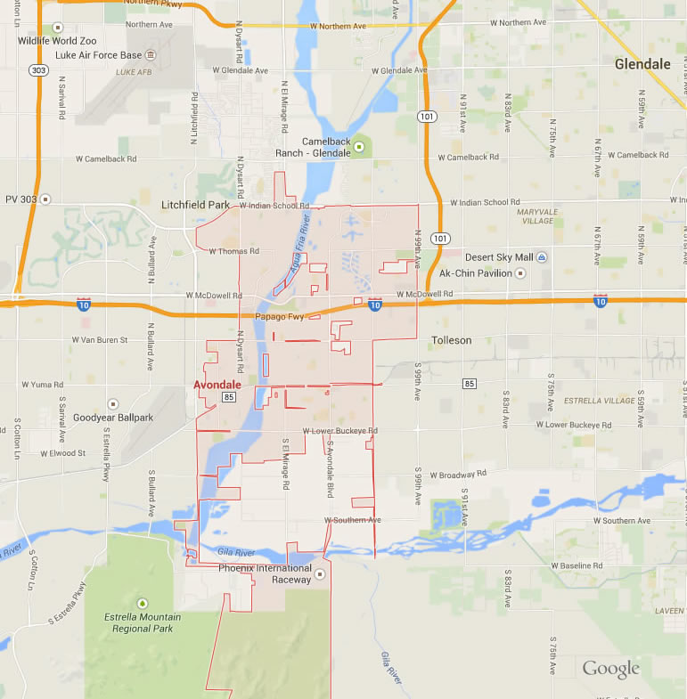
avondale map arizona us
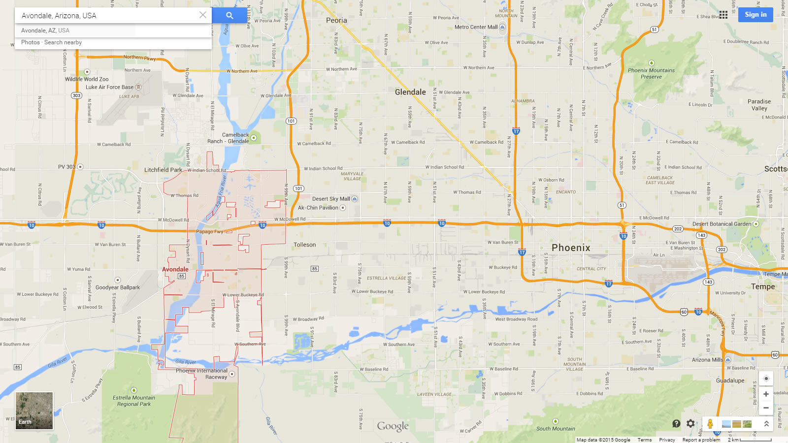
avondale map arizona us satellite
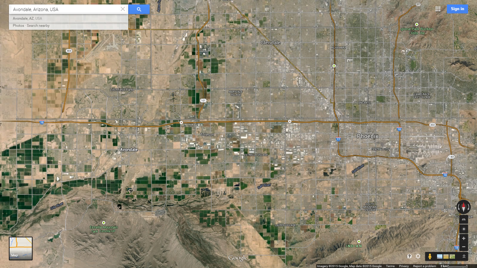
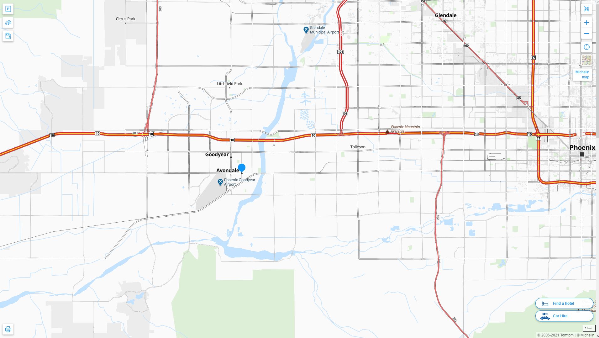
Avondale Arizona Highway and Road Map with Satellite View
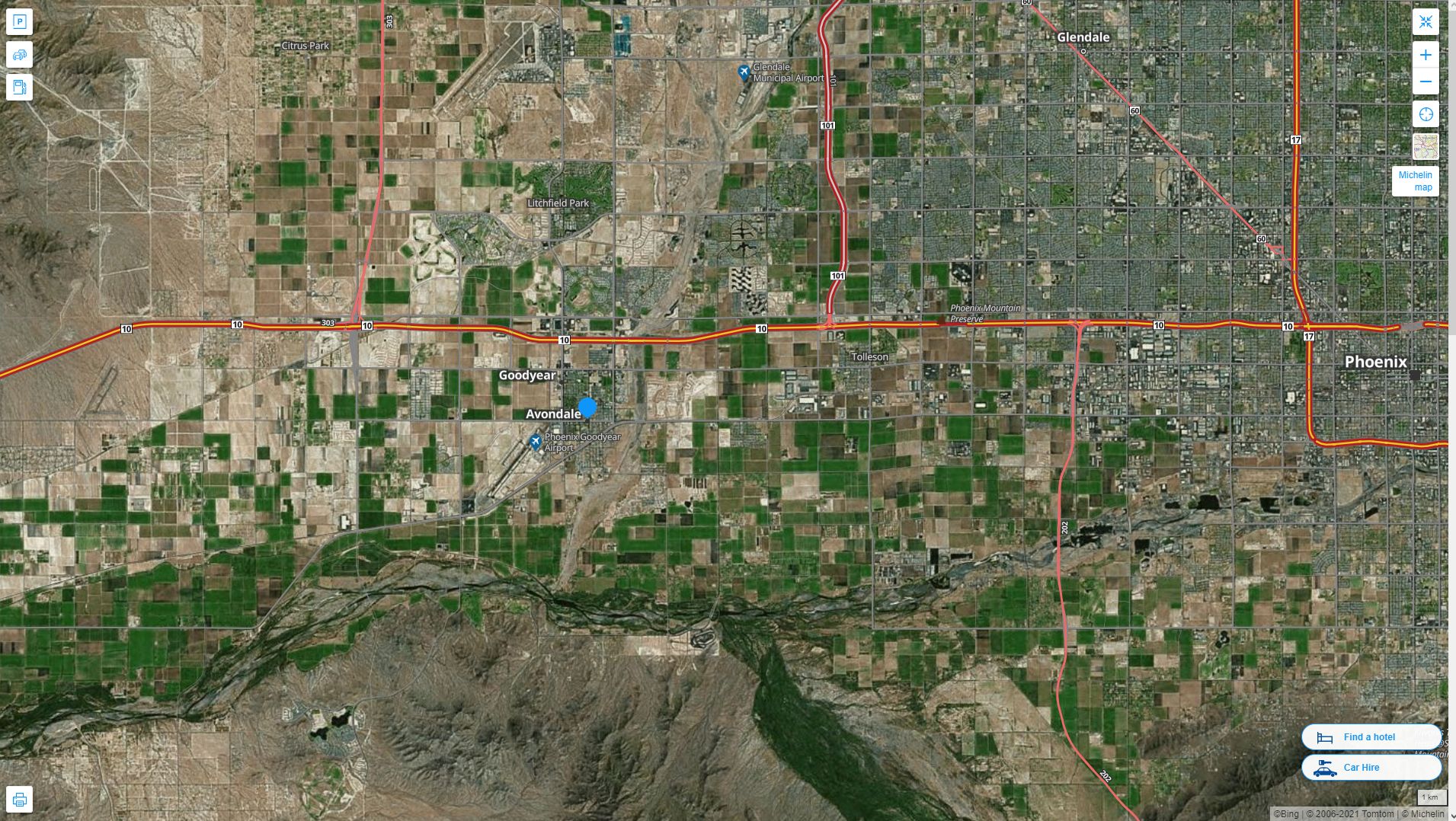
Avondale Arizona Highway and Road Map
Largest Arizona Cities by Population
Phoenix Map Tucson Map Mesa Map Chandler Map Glendale Map Scottsdale Map Gilbert Map Tempe Map Peoria Map Surprise Map Yuma Map San Tan Valley Map Avondale Map Casas Adobes Map Flagstaff Map Goodyear Map Lake Havasu City Map Buckeye Map Catalina Foothills MapFor all Arizona Cities Map
Avondale Arizona Google Map, Street Views, Maps Directions, Satellite Images
WorldMap1.com offers a collection of Avondale Arizona map, google map, Avondale Arizona atlas, political, physical, satellite view, country infos, cities map and more map of Avondale Arizona.